
SuperEdit provides editing tools for Tessel Composite Documents (TCD) that may contain raster drawings and images, vector drawings for viewing and active vector drawings for editing (TVD).
SuperEdit is based on Tessel Systems composite document viewer. It allows collecting an arbitrary number of raster documents, and, with TSLETF option installed, even vector drawings in standard formats, into one composite document. Individual images, subdocuments in the composite document, can be selected for changing their attributes, their position in the common world coordinates and their visible areas (viewports). Several raster subdocuments can be selected for raster data editing.
One TVD drawing may be selected for editing at a time and thus marked as foreground in the TCD structure. It provides multi-layered fully featured structure for creating and editing of vector entities using tools similar to other popular drafting systems. The strength of SuperEdit’s vector editing tools comes partly from the fact that they are fully integrated with hybrid raster-vector TCD environment.
SuperEdit offers powerful set of commands to edit raster images. You can:
crop raster image and change its dimensions,
clear rectangular and polygonal areas of raster image,
calibrate raster image using known coordinates or vector references,
rotate or align raster image around any angle,
resize raster image,
filter spots or holes to clean raster image,
cut or copy rectangular or polygonal areas of raster image,
paste raster image from other file,
merge several raster images,
insert vector entities into raster image,
create new raster images from several raster and vector drawings,
trace (vectorize) raster lines.
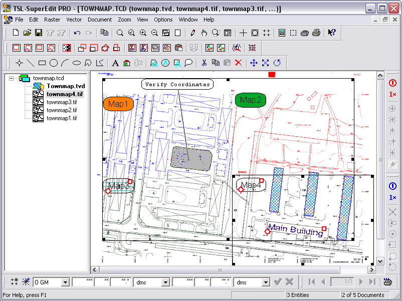
Composite documents are stored in files with the TCD (Tessel Composite Document) extension and can be embedded in other documents. In the current implementation composite documents contain references to document files but do not contain document files themselves. Composite documents are especially useful in GIS applications for seamless display of neighboring or overlapping sections of raster and vector maps. They are also useful in engineering applications, whenever multiple scanned images need to be integrated into a single larger document, different drawing versions compared, or raster images presented together with vector drawings in a controlled way. SuperEdit supports Single Image Mode that facilitates viewing and editing of single raster files without creating trivial composite documents that refer to one file only.
SuperEdit displays composite documents that refer to subdocument files saved in various raster and vector formats. The full list of formats supported by SuperEdit can be found in the section called “Appendices”. File names of raster and vector subdocuments must have extensions appropriate for their formats. The terms subdocuments, drawings and images will be used in this manual as equivalent, whenever it is unambiguous.
SuperEdit treats most raster formats in active way, i.e. it can display images that are saved in these formats and edit them. Drawings in DWG, DXF and HPGL format can be displayed in background but not edited. Editable vector drawings are maintained in TVD (Tessel Vector Document) format, that is a full-featured vector drawing with structural capabilities well known from other popular drafting systems. Drawings in DXF format can be imported to the foreground TVD vector drawing.
Scanned and vector documents displayed by SuperEdit can be printed together using the standard Print command. You can print hybrid documents on any device, printer or plotter, which is controlled by an MS Windows graphics printer driver. SuperEdit can print to standard MS Windows drivers, drivers provided by printer/plotter vendors or drivers developed by Tessel Systems for selected raster devices.
SuperEdit can efficiently print documents of any size up to the maximum supported by the given output device. The printing process is always performed using the full resolution data from the scanned and vector document files scaled to the demanded output size.
To facilitate working with geographical maps, SuperEdit has the facilities to work with geographical coordinates and convert them to orthogonal coordinate system back and forth. Conversion routines are based on geographical mapping systems that are described further. The routines are inserted in the geographical conversion module (TSLGEO32.DLL) and are delivered with installation.
